|
Our drive out from Stone Island was some what uneventful except it took another hour because of a special holiday here in Mexico....Revolution Day 1910... It's a 3 day holiday and EVERYONE goes to a beach, and I mean EVERYONE !!! We decided to take the "Free Road" vs. the TOLL (just because we're cheap...). We were running great until we were about 20 miles outside of Tepic and then we got into traffic that was stop and go for miles upon miles. It was a two lane narrow twisting road that took us into the mountains before dropping us into the city of Tepic (about 200,000 people). Now that we have driven from the coast by Mazatlan to the interior (Tepic), we turn back west and make our way back down from the high to the low of the coast and finally to La Penita (40 miles north of PV prox). Because we are a little earlier than some that make the La Penita park their winter home we were given a beautiful view site for a short while (which I was happy to take...). Yesterday we did a lot of swimming, meeting with old friends, taking an ATV ride into La Penita for lunch, and finishing the night off with free margaritas and pork tacos at the large palapa shown here next to our site... tomorrow... more of the same prox.
3 Comments
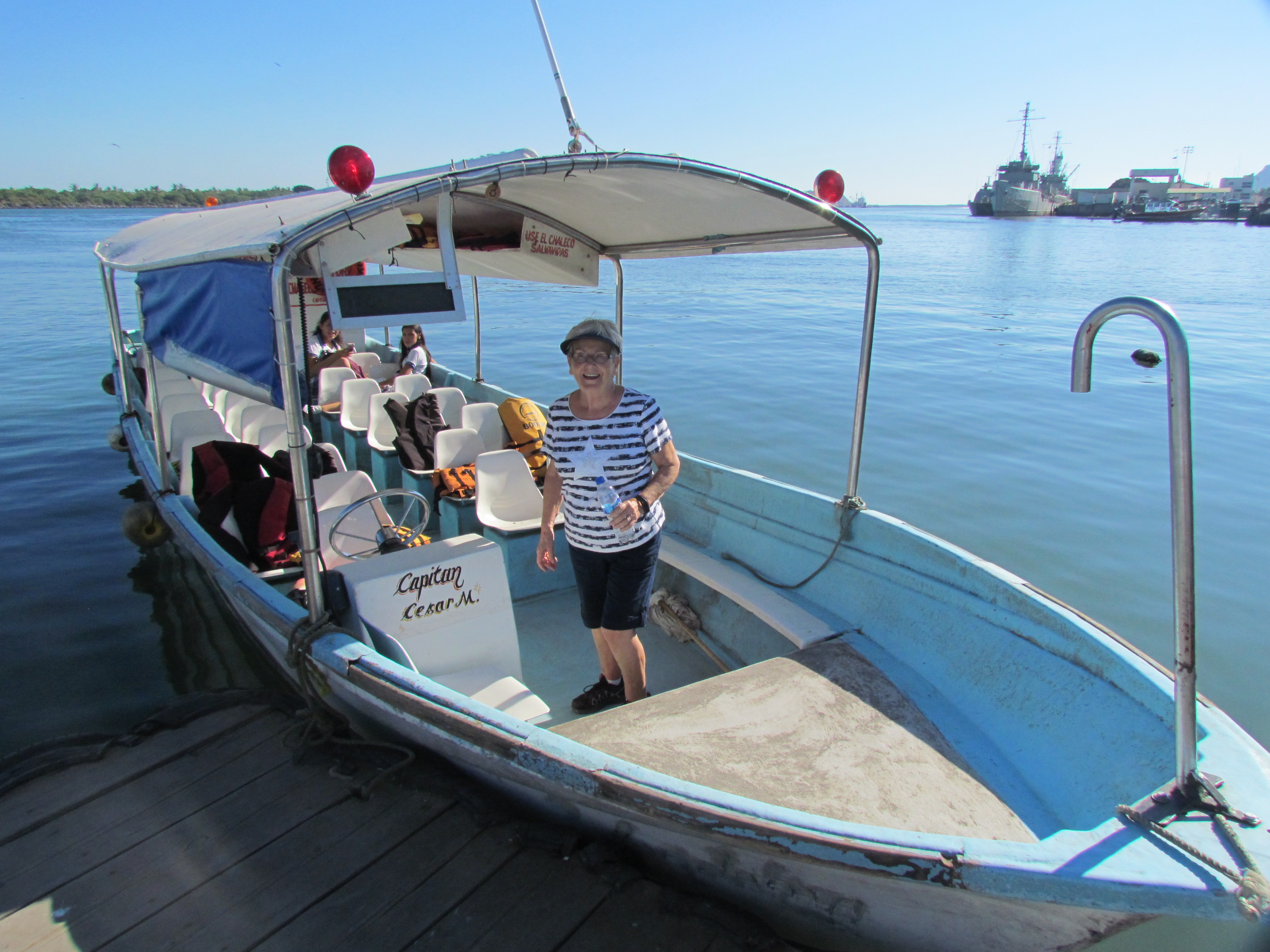
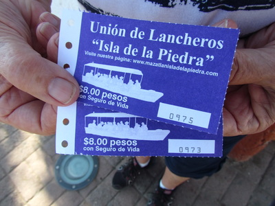
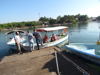
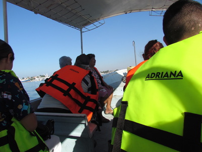
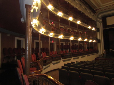
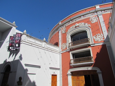
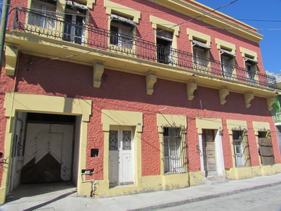
Today wasn't just one of those days, it was a day set aside for another adventure. Our water taxi awaited us (and about 15 others) for a quick trip across the waterway to Mazatlán. We had three main objectives, the first was a long land taxi to Walmart for which I was looking for a new backpack. We found out that there are 3 Walmart locations in Mazatlán and we've already been to 2 of them on this trip. Second, Louise wanted to go back to the Mercado Centro (the large market place here in Mazatlán) to purchase a couple more blouses and new long cooler pants. I got a shirt... AND a backpack... Doris had messaged us about the hacienda that her mother grew up in and, suggested that we try to see the "teatro Angel Peralta" which is close by. We did both and really enjoyed feeling a closeness to Doris and her family by seeing their hacienda, and the theater, absolutely beautiful....thank you Doris for your suggestion... Back to the water taxi...Our ride cost us 8 pesos (approx. 45 cents ) a piece each way and it was "mandatory" for all of us to wear the lifejackets during the short ride across to the mainland. Seeing as we started out our ride in the morning, everyone that got on wished all a Good Morning...we Love Mexico...
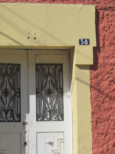
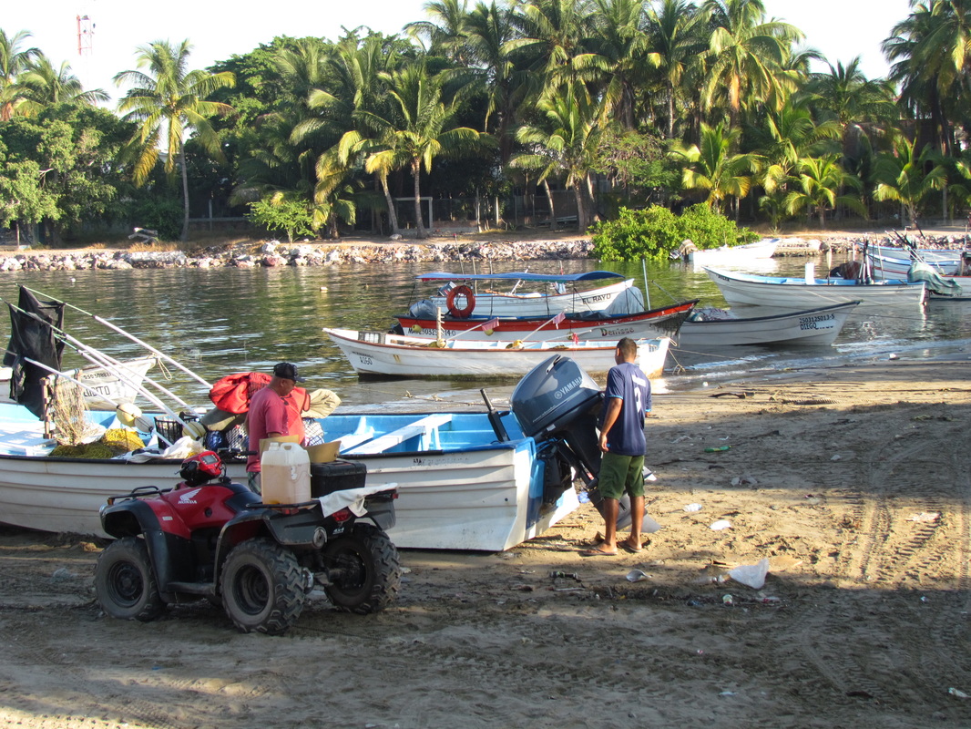
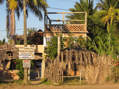
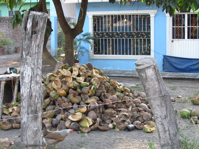
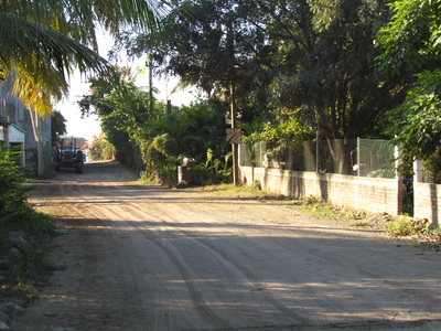
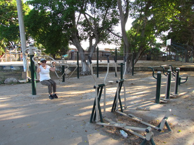
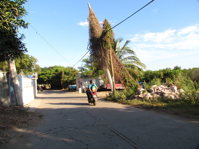
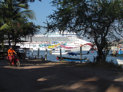
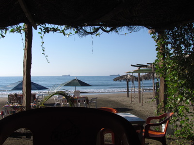
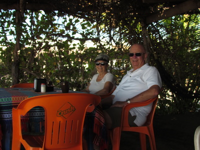
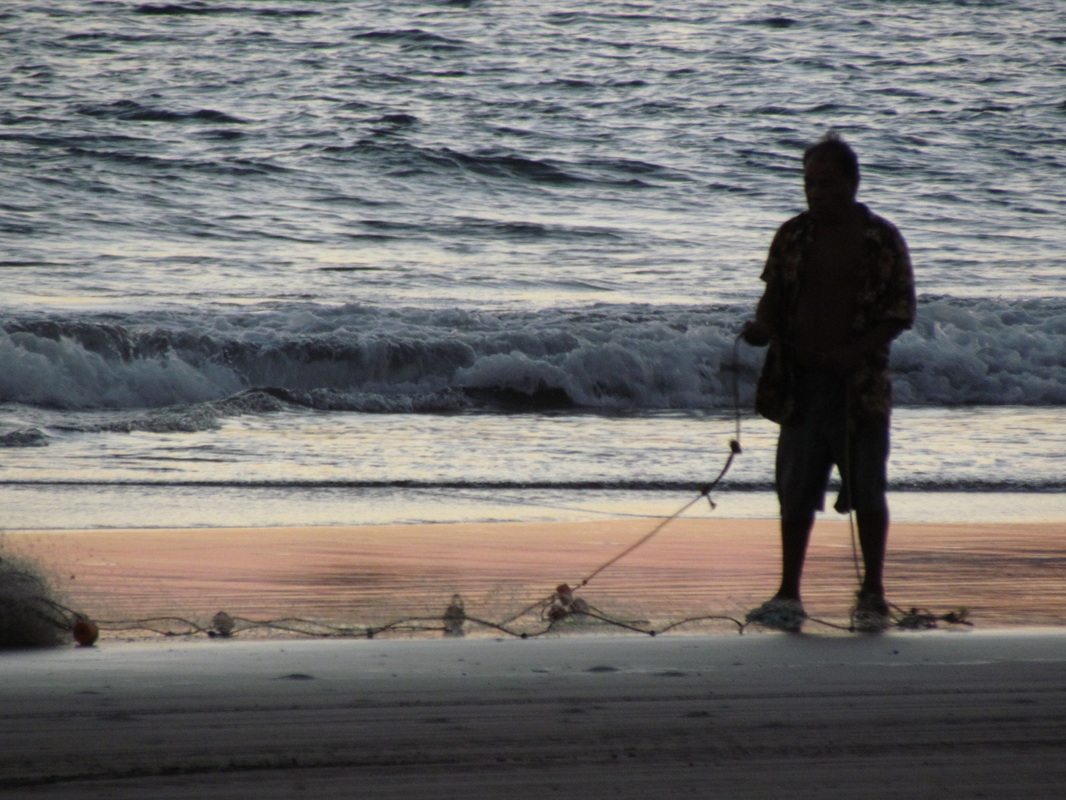
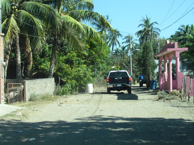
We're having a "dilemma"... It seems that there are soooo many places that "feel sooo good" as we travel through Mexico, that we could call our "2nd Home". Hell, we are getting a little confused. This stop (our first ever here) at "Stone Island" (Isla de Piedra) has found us LOVING IT !!! Very small, very comfortable, close to the BIG CITY (Mazatlán is just across the inlet by water-taxi), VERY FRIENDLY, and the beach is right out our door...see what I mean ? The streets here are mostly sand and are wide enough to have 2 ATV's side by side, and you can walk the whole village in 2 hours if you take your time. IF, you were to find that you wanted to make this your "WINTER HOME", you would want to invest in an ATV and leave the car at home. The park we are in now (and the owners "tres Amegos" have 2 parks side by side) has 12 spots, 7 right up front to the beach (and they still have one for us...), great showers, and, and, and.... There is even a 6 acre botanical garden just in back of us that we can stroll through when it might be too warm on the beach. Above you will find a casita for rent just off the beach, coconut water purveyor, the main road to "town". village gym, cruise docks across in Mazatlán, the view from breakfast this morning and us enjoying it all after our exploratory walk...
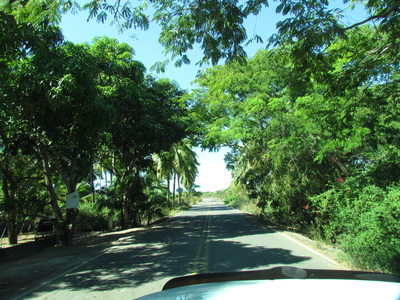
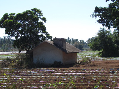
We really enjoyed two days in Mazatlán with Sol, Carol, Mike, and Sherry but this morning we said "Good Bye" for a few days. They all headed out for La Penita and Louise and I took a detour out to a place we have heard a lot about over the years that we have journeyed down this way....Stone Island, which isn't really an island but a long finger that twists back from the south and ends just a short boat ride from Mazatlán central. Once we left Hwy 15 south at the airport exit we headed out a small but well traveled road for 5 miles and then all of a sudden the road fell apart and we found ourselves on a road that all of a sudden ceased to be a "road" but a very large chuck-hole....fortunately that lasted only about 3/4 mile and then we found ourselves on a nicely paved roadway again passing fields of coconut and date Palm trees, and other crops that we couldn't identify. 8 miles later after leaving the pot-holes we entered the small village of La Piedra. This seems to be a very interesting little village and will offer the two of us a weeks worth of exploring and a lot more.... This is only a part of a day and already we'
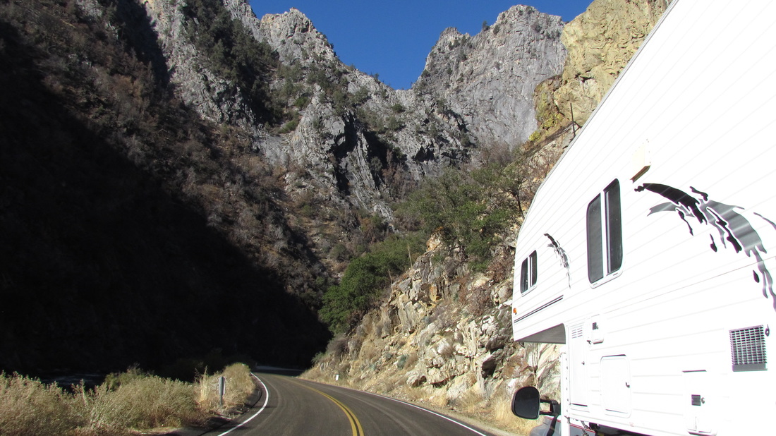
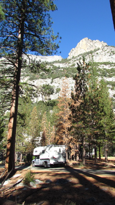
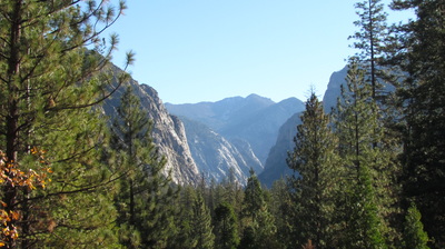
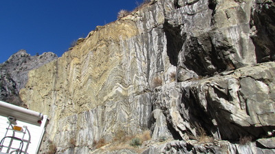
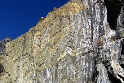
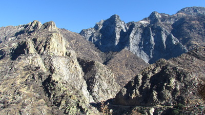
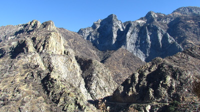
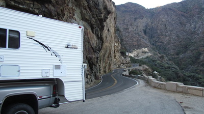
re excited about the next 6,,,, Driving the Kings Canyon was almost like riding a "slippery slide" and fortunately the brakes held when needed. Starting out at the top of the canyons edge over 8,000 feet and the taking a winding narrow road all the way to the bottom to end up at just below 4,000 ft were we camped for the night. Our outside temperature when we rolled out of the warm bed was just 31 degrees F. and demanded me to fire up the furnace... For over 30 miles we drove until we arrived at the end of the canyon and the starting place for the glacier that was once there. There were places on the drive down that you could almost reach out and put your hands on each side of the canyon and then there were others that the canyon stretched out about 1/2 mile. The small river that flowed through the canyon was still cutting it's way and making it's mark for a deeper yet Kings Canyon...
Distination: Sequoia and Kings Canyon National Park
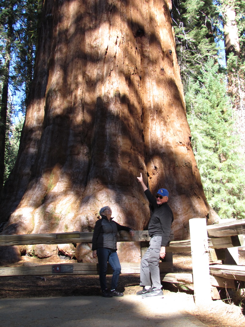
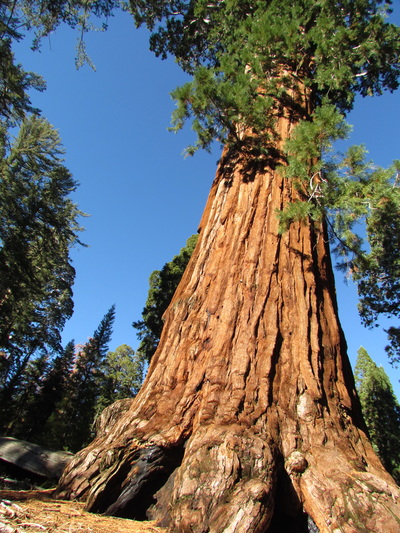
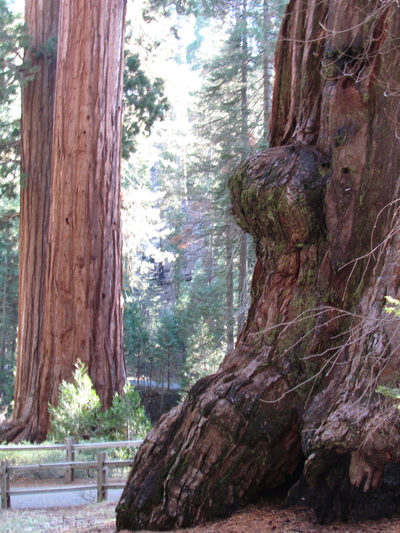
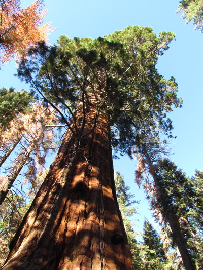
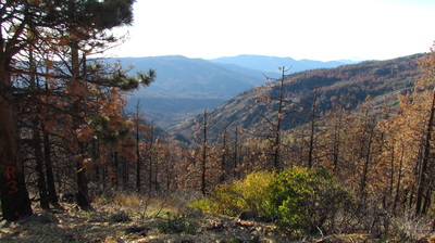
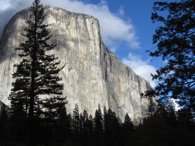
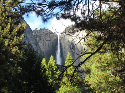
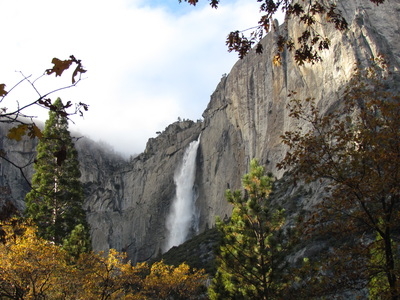
The 2nd of November already and we're still in California... I thought we had left the cool 30's behind us in Coeur d'Alene but we sure found them in the Yosemite Valley. I'm not sure why they call it "Valley" because it is still well over 5,000 ft. It was very cold getting out of bed this morning even if the sun was shining warm off the surrounding mountan tops. Our campground (one of the few open this time of year) still had lots of room for another rig to spend the night so we found this "almost perfect" spot. All settled in, cocktails and dinner out of the way, and a good book in hand ( that is a kindle kind of book...) and we got a knock at our door. Well we immediately thought it was the Ranger coming around to collect but no, it was this lady that was trying to tell us that we were in their campsite...they had a RESERVATION for that SPECIAL site and we would have to go looking (IN THE DARK...) for another...What ??? Well my LOVELY wife touched my back and said SORRY but we had no idea and we would GLADLY move...Isn't that nice??? After pulling up stakes we toured the campground and found one of the last ones (filled with mud and pine needles). OK, all is well this morning (except it is still cold as hell) and we're all packed up and ready to roll. It was about 70 miles to get to our next highway just east of Fresno but it was going to take about 3 hours with the winding, twisting, steep up and downs that were going to be another experience for us to remember. Our destination today is Sequoia and Kings Canyon National Parks. If I had STUDIED the maps I would have known just what to expect of the roads to and from these National Parks, but I didn't so I "suffer" each and every turn... Yep, we had that same type of road today going up and into Sequoia-Kings Canyon. Once we got there we were completely mesmerized by the GIANT Sequoia and especially the one known as GENERAL GRANT...what an amazing tree at more than 40 feet in dia., and more than 2000 years old. After visiting the General, we drove another 28 miles down (and I mean DOWN) the Narrow Winding roads and into bowels of Kings Canyon. This is 28 miles in with the same 28 out and it is all along the cliffs of the canyon until you hit the Cedar Groves or the end of the road...amazing views of the most beautiful canyon you could ever imagine. The only thing about our travels the last 2 days through Yosemite, Sequoia, and Kings Canyon is the death of so many ponderosa and sugar pines because of the "HOT" drought and the INSECTS. There must be HUNDREDS OF THOUSANDS of these trees that are infected and are now being cut down...NOT a pretty site and what a terrible waste. Heading south to Mexico...28 October 2016
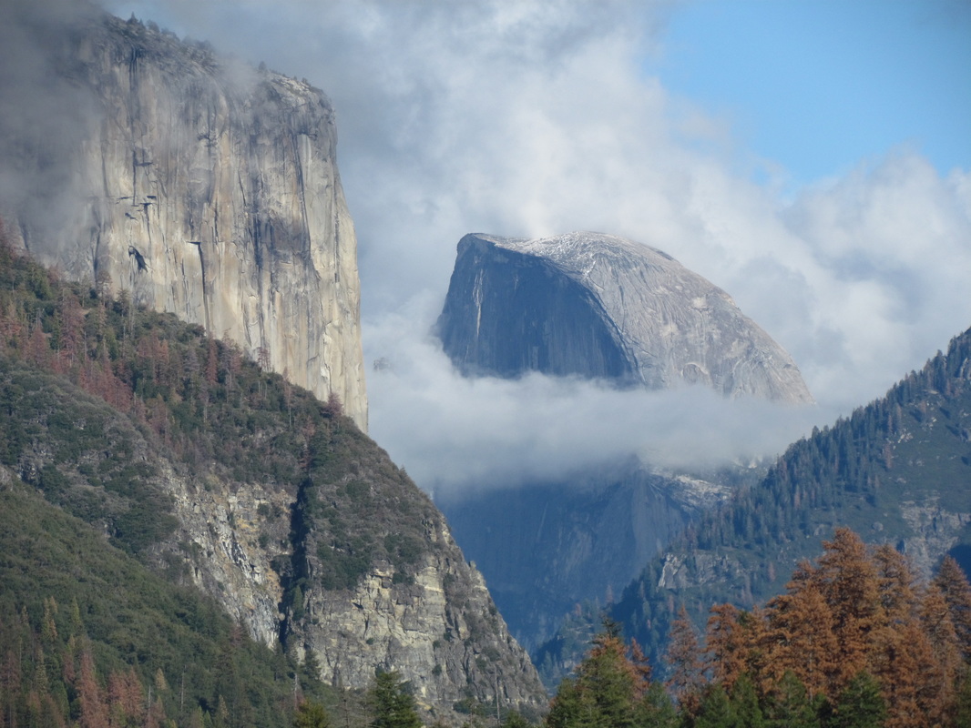
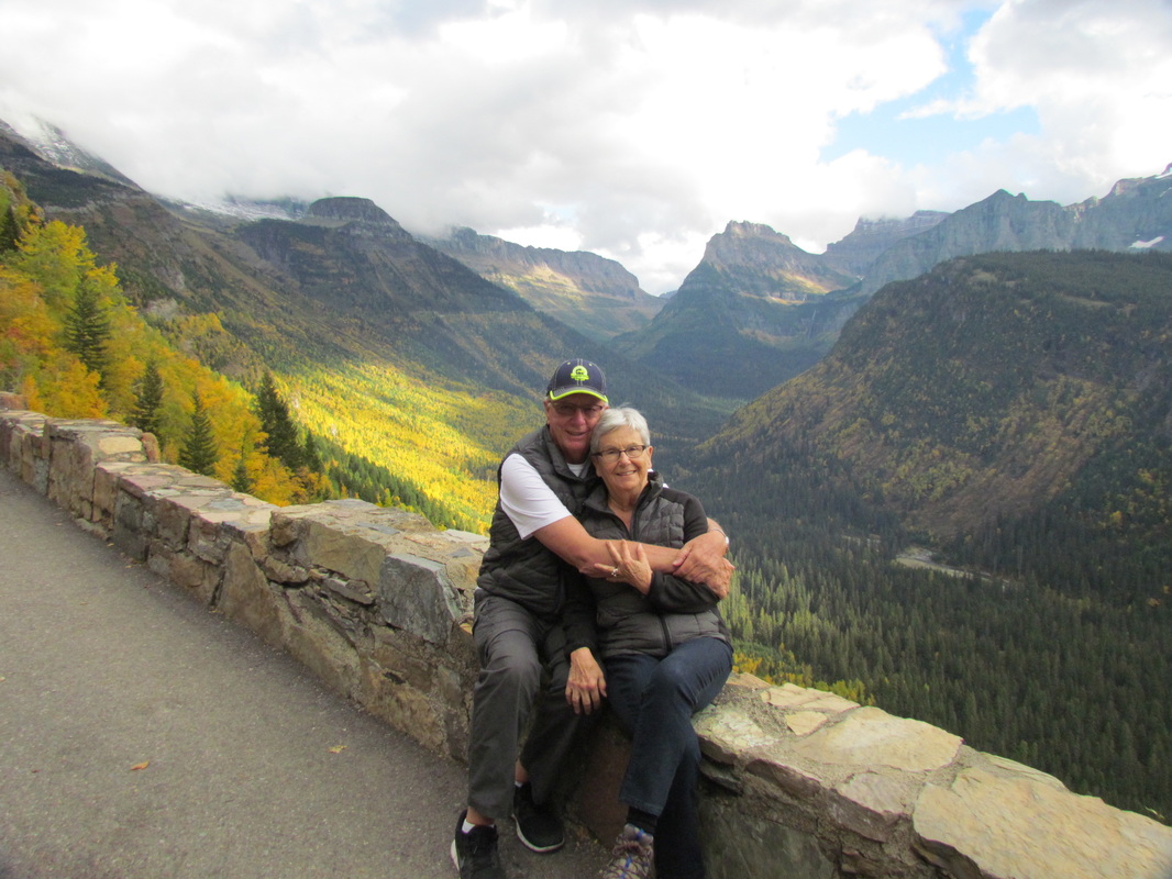
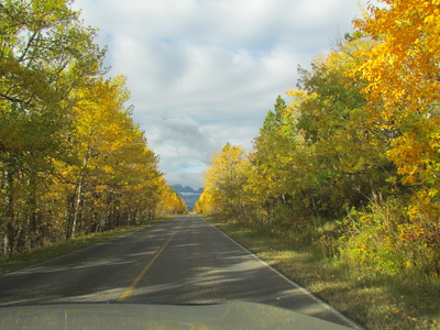
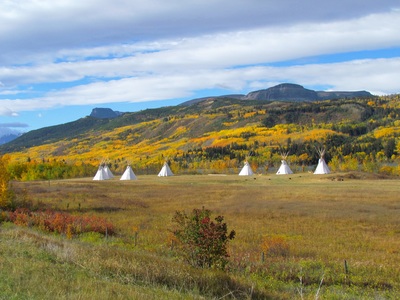
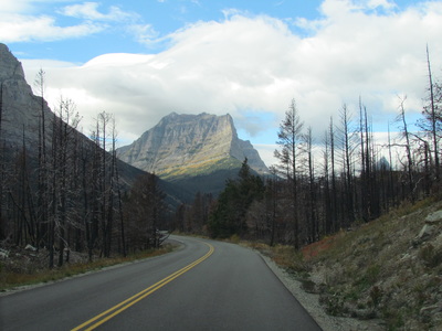
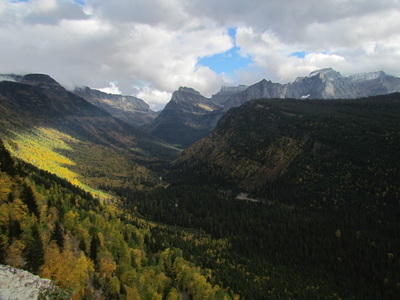
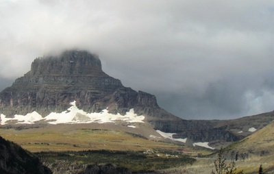
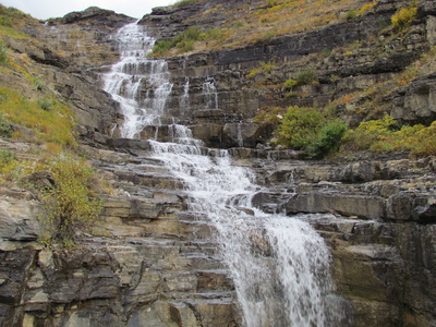
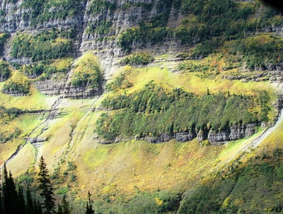
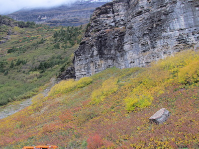
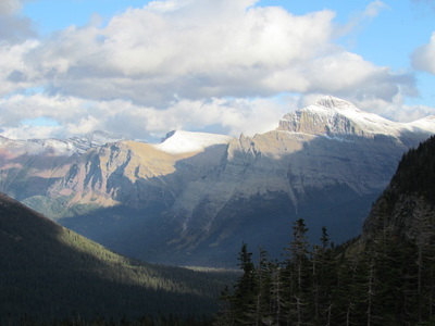
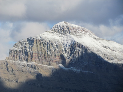
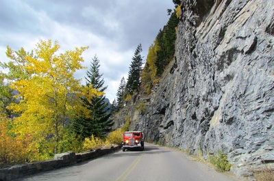
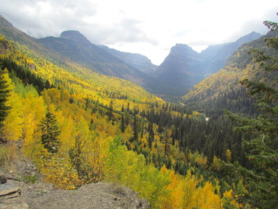
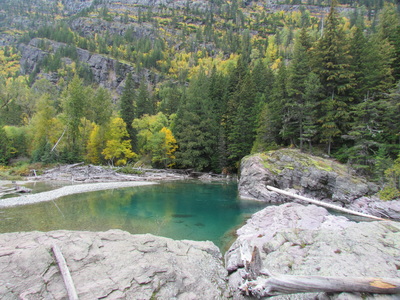
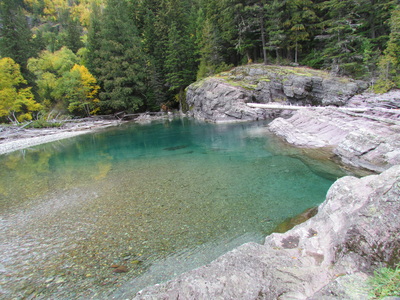
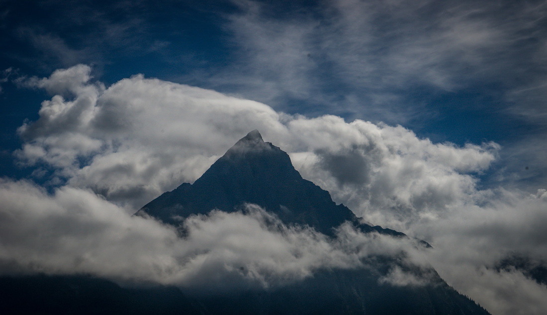
After enjoying Joelle's birthday party in Seattle with rest of the family on Saturday, we topped off the fuel tank and headed south to California. We made it as far as Seven Feathers Casino just south of Ashton, Oregon the first night. Fortunately we found FREE RV parking available and a spot to watch game 4 of the world serie followed with a "tribute band" of the Beattles all the while giving Louise a chance to win some "FUEL" money ($49) while I kick back. Our next night we had driven all the way down to Lodi, California for a stay at the local Elks Club and a location that would give us a quick kick off to a visit to Yosemite National Park. The drive from Lodi to the park was though a new area for us...Stockton, Copperopolis, Chinese Camp, and Hwy 120 into Yosemite. I mention this route because of the unique drive up and through the mountains. The road was very good, narrow, VERY winding and twisting, steep up and down, and SCENIC !!! Deep valleys, SOLID rock faces that fall 100s of feet, small stone walls that served as "small but efficient" safety nets from the valley just a foot or two from the edge of the road, AMAZING waterfalls, and of course the incredible heights of the mountains, 8,700 - 13-14,000 feet. Our traveling speed was very slow but with the constant views, it paid off dividends... Louise and I were here in Yosemite about 4 years ago but we both thought it deserved a second pass-through. The last time we were here it was early spring but this time...we had the experience to see it in FALL COLORS and because of the un-seasonable RAIN, the waterfalls were just AMAZING !!! Tonight we are camped in Yosemite...AND expecting a cool if not cold night, but that's alright, we're in Yosemite in the FALL and we should expect any and all of what it has to offer (and speaking of offering our neighbors saw a BEAR this evening...we saw a nice buck...). Tomorrow we are heading south to Kings Canyon and Sequoia National Parks. I can't believe how lucky we were to finally get to drive over The Road To The Sun in Glacier Park, and we did it with Doug, Bonnie, and Whitney (one of their daughters). Timing couldn't have been better, the park wasn't near as busy as the spring/summer seasons and the colors, AMAZING from the changing leaves of the early Fall to the "frosting" of the early snows high in the mountains. We decided to make it a two day stay in the park so that we could drive through the park each way to get a different perspective from the first direction....it was hard to tell that we did see the same valleys and mountains as we passed back over them, it just couldn't have been the same road. Glacier National Park is and was worth the time and drive it took to get there even if it only took us 3 hours each way....
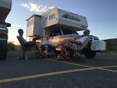
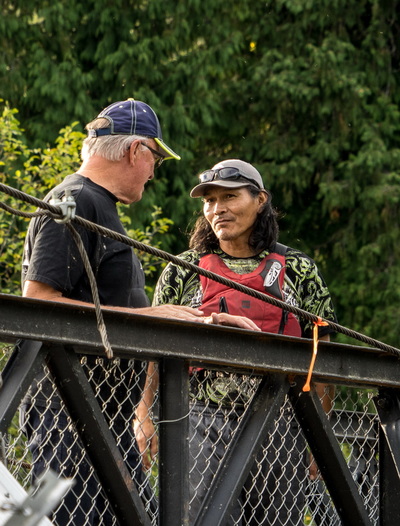
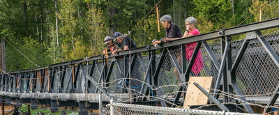
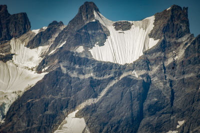
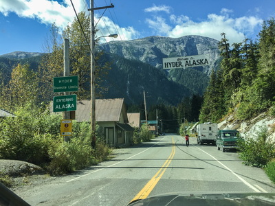
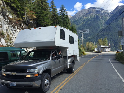
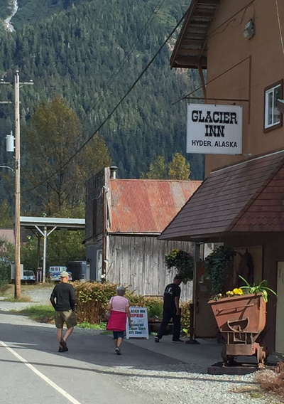
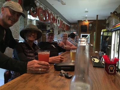
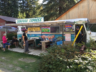
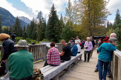
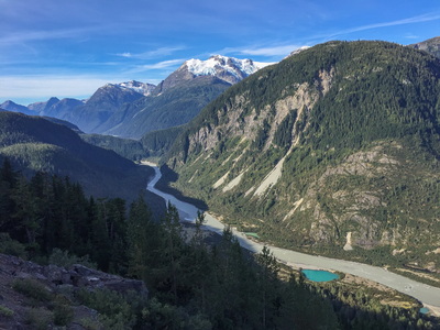
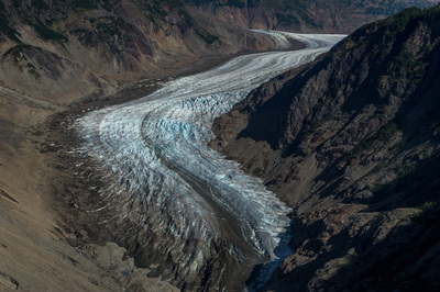
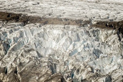
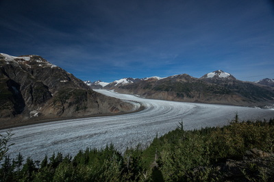
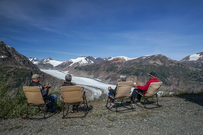
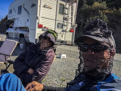
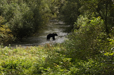
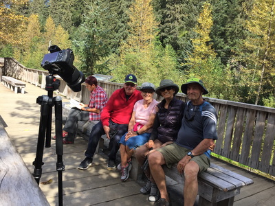
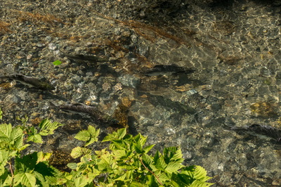
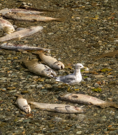
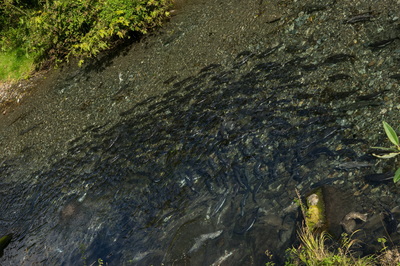
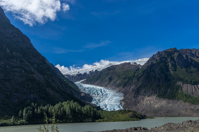
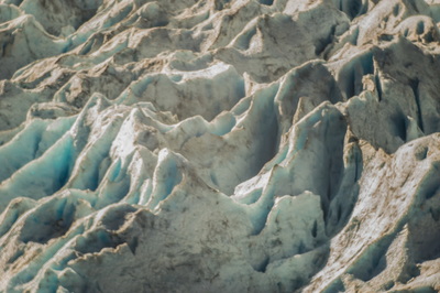
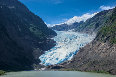
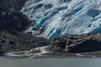
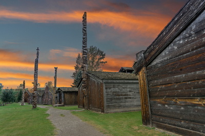
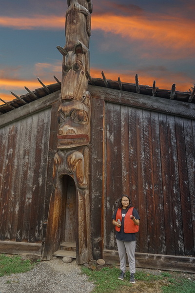
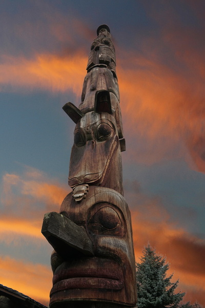
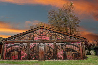
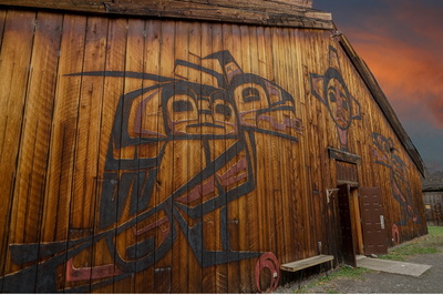
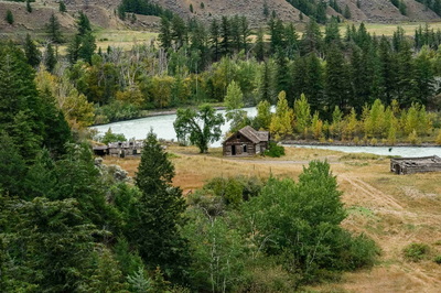
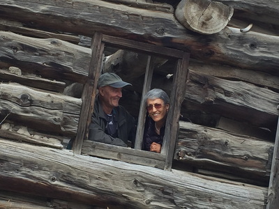
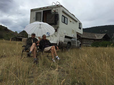
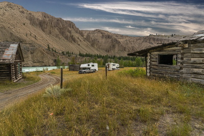
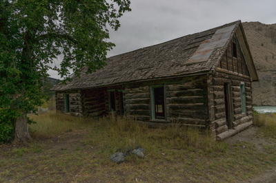
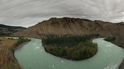
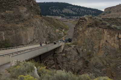
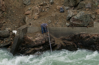
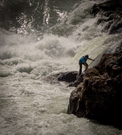
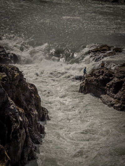
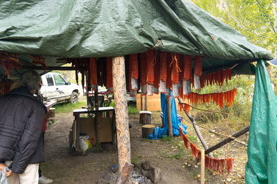
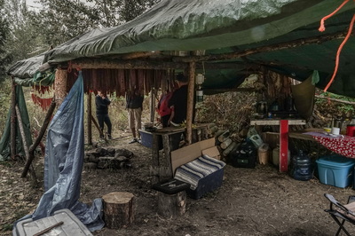
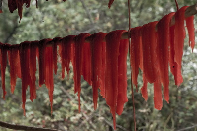
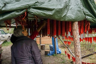
We learned a lesson from our first drive up to Alaska...if you want to see the Grizzly fishing the rivers for salmon, you have to go up much later than May, so this time we planned our drive for the last part of August. Louise and I asked Doug and Bonnie to join us for this "adventure" which would take us out for 10-12 days and approximately 2,500 miles. We met up together for our first night at one of our favorite campgrounds (Walmart) in Lake Williams, BC. In the morning we drove both rigs north to our next campsite at Kitwanga, BC. We arrived early enough to walk down to the river to watch the salmon make their way through the gates that were spread across the river. They were being counted by a First Nations father and son who make a small living by doing this each season. Alaska was calling so we were off for Hyder. The beauty of British Columbia was always showing it's self as we made our way north...The mountains, valleys, farmlands, and villages of the First Nations kept the cameras clicking. UNFORTUNATELY, I left the battery charger for my camera back home so it wasn't long before I had to ask "my buddy" Doug, to handle all my camera needs as well as his which, you will see in most of what you see in this posting of our trip...Thanks Doug !!! We pushed on pretty quickly to Hyder, the lure of the Griz was strong and we just didn't want to miss them. Hyder, Alaska is a unique little community of approximately 80 to 150 permanent inhabitants', a bar/restaurant (and I use the word restaurant very loosely), a very good restaurant (The Bus, were you eat the BEST Halibut and Salmon dishes on picnic tables outside ALL season (when they are open and offer dining). After crossing from Canada to the USA (Alaska) we opted to enter the Glacier Inn for "refreshments" and a drive through "town" to the Forest Service boardwalk were we were looking for the GRIZZILY fishing for their salmon... WHAT, NO GRIZ ???? What the HELL...Too early, too late, WHAT ??? We'll be back tomorrow and they had better BE THERE or ELSE !!! Well first thing in the morning it was still NOTHING so we opted to visit another glacier 15+ miles further up the mountain on a dirt road. Salmon Glacier is quite large (one of the largest in Alaska) and flows into the valley just north of Hyder and out to the Pacific Ocean area just south of Ketchikan. I want to bring your attention to a picture of Bon and Doug above...their faces are NOT distorted, they are just covered with mosquito nets (we NEVER saw one mosquito in the whole trip)...waste, waste, waste... In another picture above we are sitting high above the Salmon Glacier having some HOT COFFEE...(We are living a tough life). Leaving Salmon Glacier we headed back to see if any Griz had shown up....WHAT, is there ONE...WHERE ??? Disappointed, no but it would have been nice if we could have seen more than ONE Griz, after all we traveled over 1200 miles to see just the one and that is NOT what I was wishing for... There was another glacier that we enjoyed, and that was Bear Glacier at the shores of Bear Lake. Smaller but closer and much easier to photograph. Our Hyder visit wasn't so disappointing because we did see soooo many AMAZING sites AND now, we have so many more that we will see as we head back south. We didn't take the time to see them on the way north so we'll take our time heading south to enjoy as much as we can. One of our overnight stays was at Meziadin Lake about 40 miles east of Hyder. A very popular lake for the Canadians that want a little distance for themselves from the cities that they live and the remote experience they get at Meziadin. Our next stop was Prince Rupert, BC. The Alaska ferry comes in here and brings with it a lot of tourists and commercial traffic. It is a great city of medium size and a great museum (which we really enjoyed). From Prince Rupert we headed east to New Hazelton and the First Nation Ksan Village. Continuing our drive east towards Prince George we came across a beautiful river location were the First Nation people were fishing with their pole nets...NOT an easy thing to do... Then we found ourselves back at Lake Williams and heading east about 12 miles to enjoy the most amazing area we could imagine. We again watched the Pole Fishermen dipping AND catching, enjoyed the Chilcotin River SNAKING it's way through the sandy hills, AND finding an AMAZING "Homestead"... As soon as we pulled into the old homestead it was decided that we were going to set up camp right there. Walking the site, Louise noticed another "camper" located down by the river. Interested, we walked over and met "Sheila". Her site consisted of a small trailer and a blue tarp spread over a smoking fire in which she was smoking salmon....this was one of the most AMAZING sites I have ever witnessed. She was smoking the salmon that her brothers were catching under the bridge on the Chilcotin River over which we had already stopped and admired. They were all from the First Nations and living off the land and water of Canada. I can't tell you how much fun we had that night alongside the Chilcotin River... It was capped off with a great campfire along the shore of the river AND the most wonderful CHUNK of smoked salmon you could ever imagine from our next door neighbor Sheila.... AMAZING...
I really want to say, we have never had a meal at Hotel and RV park MALARRIMO in Guerrero Negro....NEVER. Even the service and the prices are the best. I just wish they had a MEGA or some type of major grocery store there AND a decent bank. OK, enough about GN, now back on the road... As we continued our journey today for 85 miles Southeast, we found San Ignacio. For many years and many trips north and south we never took the time to stop and explore San Ignacio. There we found a tranquil lagoon, lots of date palm trees, a wonderful and picturesque laurel shaded plaza that was surrounded by the single storied "Old Mexico" buildings, and the true beauty of the community, the Mision San Ignacio de Kadakaaman. It seems like we are on a hunt this trip for the missions of the Baja, and maybe we are. Anyway, this one is architecturally beautiful with it's setting in a small village, the construction materials of 4 foot thick lava block walls, the wood carved alter, doors and shutters, and the wonderful forged bells that call for worship. The construction of this mission finished in 1786 and stands just as beautiful now as it did then.
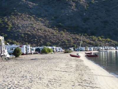
After our self and "guided" tour by Rigo we headed across the plaza and enjoyed a wonderful lunch of Huevos Rancheros (yes, we know, that's a breakfast meal, but we all enjoyed every bite...mmmm GOOD) Now it's back on the road and heading to Mulege and our beach site at Playa Santispac... |
*Locations*
All
*Archives*
November 2016
|

